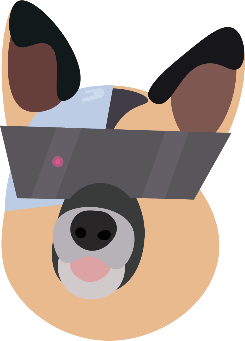
Dogg.io: Geospatial Dog Walking App
A location-based mobile game that transforms dog walking into competitive territory claiming, where players physically explore their neighborhoods to create geometric shapes and compete for geographical control – developed as a final project for an application programming college course.
## The Inspiration: Digital Dogs, Real Territory
Dogg.io emerged from observing how dogs naturally claim and defend territory during walks. Just as dogs mark their territory through scent and patrol familiar routes, the game allows players to claim digital territory by physically walking geometric patterns in the real world.
The concept combines the addictive territory control mechanics of games like Agar.io with the real-world exploration elements of Pokémon GO, creating a unique hybrid that encourages outdoor activity while satisfying competitive gaming instincts.
## Core Gameplay: Walking to Win
### Territory Claiming Mechanics
Players claim territory by walking paths that create closed geometric shapes:
```swift
struct Territory {
let vertices: [CLLocationCoordinate2D]
let owner: Player
let area: Double
let claimTimestamp: Date
var isValidShape: Bool {
return vertices.count >= 3 && isClosedShape() && hasMinimumArea()
}
}
```
#### Shape Requirements
- **Minimum vertices** - At least 3 GPS points to form a triangle
- **Closed loops** - Starting and ending points must be within 10 meters
- **Minimum area** - Prevents tiny shapes from cluttering the map
- **Maximum size** - Reasonable limits to prevent continent-spanning claims
#### Claiming Process
1. **Start walking** - Begin recording GPS coordinates
2. **Create path** - Walk in any pattern while app tracks location
3. **Close shape** - Return near starting point to complete territory
4. **Claim validation** - App verifies shape meets requirements
5. **Territory awarded** - Successful claims appear on global map
### Competitive Territory Control
Once claimed, territories become strategic assets in larger gameplay:
#### Overlap Mechanics
When player territories intersect:
- **Larger shape wins** - Territory with greater area claims intersection
- **Time priority** - Older territories have advantage in ties
- **Player notifications** - Alerts when your territory is challenged
- **Counter-claiming** - Walk larger shapes to reclaim lost territory
#### Strategic Considerations
- **Defensive walking** - Creating buffer zones around valuable territories
- **Offensive expansion** - Targeting competitor territories for overlap
- **Resource management** - Balancing exploration time with territory maintenance
- **Alliance potential** - Coordinating with other players for mutual protection
## Technical Implementation
### Geospatial Data Management
The app handles complex geographical calculations:
#### Location Tracking
```swift
class LocationManager: NSObject, CLLocationManagerDelegate {
func locationManager(_ manager: CLLocationManager,
didUpdateLocations locations: [CLLocation]) {
guard let location = locations.last else { return }
// Filter for accuracy and movement
if location.horizontalAccuracy < 10 &&
location.distance(from: lastLocation) > 5 {
currentPath.append(location.coordinate)
updateUI()
}
}
}
```
#### Geometric Calculations
- **Area computation** - Using the shoelace formula for polygon area
- **Intersection detection** - Determining when territories overlap
- **Distance optimization** - Efficient algorithms for proximity searches
- **Shape validation** - Ensuring claimed areas meet gameplay requirements
### Real-time Multiplayer Architecture
#### Server Infrastructure
- **WebSocket connections** - Real-time updates of player positions
- **Geospatial database** - Efficient storage and querying of territories
- **Conflict resolution** - Handling simultaneous territory claims
- **Scalable architecture** - Supporting thousands of concurrent players
#### Client Synchronization
- **Optimistic updates** - Immediate local feedback while awaiting server confirmation
- **Conflict resolution** - Handling cases where server state differs from client
- **Offline support** - Caching territory data for areas without connectivity
- **Battery optimization** - Intelligent GPS usage to preserve device battery
### Map Visualization and UI
#### Custom Map Rendering
The app uses native mapping frameworks enhanced with custom overlays:
```swift
class TerritoryMapView: MKMapView {
func addTerritory(_ territory: Territory) {
let polygon = MKPolygon(coordinates: territory.vertices,
count: territory.vertices.count)
polygon.title = territory.owner.username
addOverlay(polygon)
}
func mapView(_ mapView: MKMapView,
rendererFor overlay: MKOverlay) -> MKOverlayRenderer {
if let polygon = overlay as? MKPolygon {
let renderer = MKPolygonRenderer(polygon: polygon)
renderer.fillColor = colorForPlayer(polygon.title)
renderer.strokeColor = .black
renderer.lineWidth = 2
return renderer
}
return MKOverlayRenderer()
}
}
```
#### Visual Design Elements
- **Color coding** - Each player assigned unique territory color
- **Transparency effects** - Overlapping territories show through each other
- **Animation feedback** - Smooth transitions when territories change hands
- **Player indicators** - Real-time positions of nearby competitors
## Academic Project Context
### Application Programming Course Requirements
The project fulfilled specific educational objectives:
#### Technical Skills Demonstrated
- **Mobile app development** - Native iOS application with complex functionality
- **API integration** - RESTful services for user authentication and data sync
- **Database design** - Efficient storage of geospatial and user data
- **Real-time communication** - WebSocket implementation for live updates
#### Software Engineering Practices
- **Version control** - Git workflow with feature branches and code reviews
- **Testing strategies** - Unit tests for geometric calculations and edge cases
- **Documentation** - Comprehensive API documentation and user guides
- **Code architecture** - MVC pattern with clear separation of concerns
### Collaborative Development
Working with classmates provided real-world development experience:
#### Team Coordination
- **Agile methodology** - Sprint planning and retrospectives
- **Task distribution** - Frontend, backend, and DevOps responsibilities
- **Code reviews** - Peer feedback on implementation quality
- **Integration challenges** - Coordinating between team member contributions
#### Project Management
- **Milestone tracking** - Regular progress assessments against course deadlines
- **Risk management** - Identifying and mitigating technical blockers
- **Scope management** - Balancing ambitious features with time constraints
- **Quality assurance** - Testing across different devices and network conditions
## User Experience Design
### Onboarding and Tutorial
New players learn through guided territory claiming:
#### Progressive Disclosure
1. **Simple walk** - Claim first territory with guided instructions
2. **Shape awareness** - Understanding how different shapes affect area
3. **Competition introduction** - Encountering other player territories
4. **Strategic thinking** - Learning optimal claiming patterns
#### Accessibility Considerations
- **Visual impairments** - Voice feedback for walking progress and territory status
- **Physical limitations** - Alternative claiming methods for users with mobility constraints
- **Cognitive accessibility** - Clear, simple instructions and visual feedback
- **Battery concerns** - Power-saving modes for extended play sessions
### Gamification and Motivation
#### Achievement Systems
- **Distance badges** - Recognition for total walking distance
- **Territory milestones** - Rewards for claiming various area amounts
- **Competitive rankings** - Local and global leaderboards
- **Streak rewards** - Bonuses for consecutive days of territory activity
#### Social Features
- **Friend connections** - Add nearby players and track their progress
- **Team formations** - Coordinate with friends for large territory projects
- **Photo sharing** - Document interesting locations discovered while playing
- **Community challenges** - Group objectives for neighborhood improvement
## Real-World Impact and Benefits
### Physical Health Promotion
Dogg.io naturally encourages physical activity:
#### Exercise Incentivization
- **Step counting integration** - Bonus points for high activity levels
- **Route variety** - Game mechanics encourage exploring new areas
- **Competitive motivation** - Territory competition drives regular walking
- **Social accountability** - Friends can see and encourage activity levels
#### Outdoor Exploration
- **Neighborhood discovery** - Players explore areas they might otherwise ignore
- **Local business awareness** - Territorial boundaries often include commercial areas
- **Geographic literacy** - Increased understanding of local geography and landmarks
- **Environmental appreciation** - Spending more time in parks and natural areas
### Community Building
#### Neighborhood Engagement
- **Local player connections** - Meeting neighbors through shared gameplay
- **Area beautification** - Players take pride in territories they "own"
- **Safety awareness** - Increased foot traffic in residential areas
- **Local knowledge sharing** - Players discover and share interesting locations
#### Urban Planning Insights
The game generates valuable data about:
- **Pedestrian patterns** - How people naturally move through urban spaces
- **Popular areas** - Which neighborhoods attract the most territory claims
- **Infrastructure needs** - Areas where players struggle with GPS accuracy or safety
- **Community preferences** - Types of locations people choose to claim
## Technical Challenges and Solutions
### GPS Accuracy and Reliability
Real-world location tracking presents numerous challenges:
#### Signal Interference
- **Urban canyons** - GPS accuracy degraded by tall buildings
- **Indoor transitions** - Handling GPS loss when entering buildings
- **Weather effects** - Atmospheric conditions affecting satellite signals
- **Device variations** - Different GPS chip performance across phone models
#### Solution Strategies
```swift
func processLocationUpdate(_ location: CLLocation) {
// Implement Kalman filtering for smoother tracking
let filteredLocation = applyKalmanFilter(location)
// Reject obviously erroneous readings
guard isLocationPlausible(filteredLocation) else { return }
// Use motion data to supplement GPS
let correctedLocation = incorporateMotionData(filteredLocation)
updateGameState(with: correctedLocation)
}
```
### Scalability and Performance
#### Server Load Management
- **Geographic sharding** - Dividing world map into manageable regions
- **Caching strategies** - Storing frequently accessed territory data
- **Load balancing** - Distributing player connections across multiple servers
- **Database optimization** - Efficient indexing for geospatial queries
#### Client Performance
- **Map tile management** - Loading only visible map areas
- **Territory culling** - Rendering only nearby claimed areas
- **Battery optimization** - Intelligent GPS polling rates
- **Memory management** - Efficient handling of large territory datasets
## Educational Outcomes and Reflection
### Programming Skills Development
The project provided hands-on experience with:
#### Mobile Development
- **Native iOS programming** - Swift and UIKit mastery
- **Location services** - Core Location framework expertise
- **Map integration** - MapKit customization and optimization
- **Real-time features** - WebSocket implementation and management
#### Backend Development
- **API design** - RESTful service architecture
- **Database management** - PostgreSQL with PostGIS for geospatial data
- **Server deployment** - AWS infrastructure and scaling considerations
- **Security implementation** - User authentication and data protection
### Project Management Experience
Managing a complex, multi-developer project taught:
#### Planning and Execution
- **Feature prioritization** - Balancing ambitious goals with realistic timelines
- **Risk assessment** - Identifying potential blockers early in development
- **Quality assurance** - Implementing testing strategies for location-based features
- **User feedback integration** - Iterating based on beta tester experiences
#### Collaboration Skills
- **Code review processes** - Maintaining quality across team contributions
- **Documentation practices** - Enabling effective knowledge transfer
- **Communication strategies** - Coordinating between frontend and backend teams
- **Conflict resolution** - Handling disagreements about technical approaches
## Long-term Vision and Legacy
### Course Impact
Dogg.io demonstrated the potential for student projects to create genuinely engaging experiences while meeting academic requirements. The project showed that technical education can produce immediately valuable software rather than just theoretical exercises.
### Industry Relevance
The project anticipated many trends that became important in mobile gaming:
- **Location-based gaming** - Predicting the success of games like Pokémon GO
- **Fitness gamification** - Combining exercise with competitive gameplay
- **Real-world integration** - Using digital tools to enhance physical experiences
- **Community-driven content** - Player actions creating the primary game content
### Open Source Potential
The educational nature of the project makes it ideal for:
- **Learning resource** - Example implementation for other students
- **Community development** - Open source foundation for similar games
- **Research platform** - Academic study of location-based gaming effects
- **Local adaptation** - Communities creating neighborhood-specific versions
## The Philosophy of Playful Exploration
Dogg.io succeeded because it transformed mundane activities (walking) into meaningful competition while encouraging real-world exploration and community engagement. The game proved that the most compelling digital experiences often enhance rather than replace physical activities.
By combining the territorial instincts we share with our canine companions with modern technology and competitive gaming mechanics, Dogg.io created a unique experience that benefited players physically, socially, and mentally while demonstrating advanced programming and design skills in an academic context.
---
_Ready to claim your territory? Dogg.io shows how games can transform everyday activities into competitive adventures while building stronger, more active communities._